DigPilot
3D Machine control
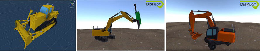
xDigPilot® Terra™ is a complete GNSS control system for construction machinery. The software and electronics are developed and produced in Norway, and it is used by machine operators worldwide. DigPilot supports all relevant file formats: .DXF, .KOF, and LandXML.
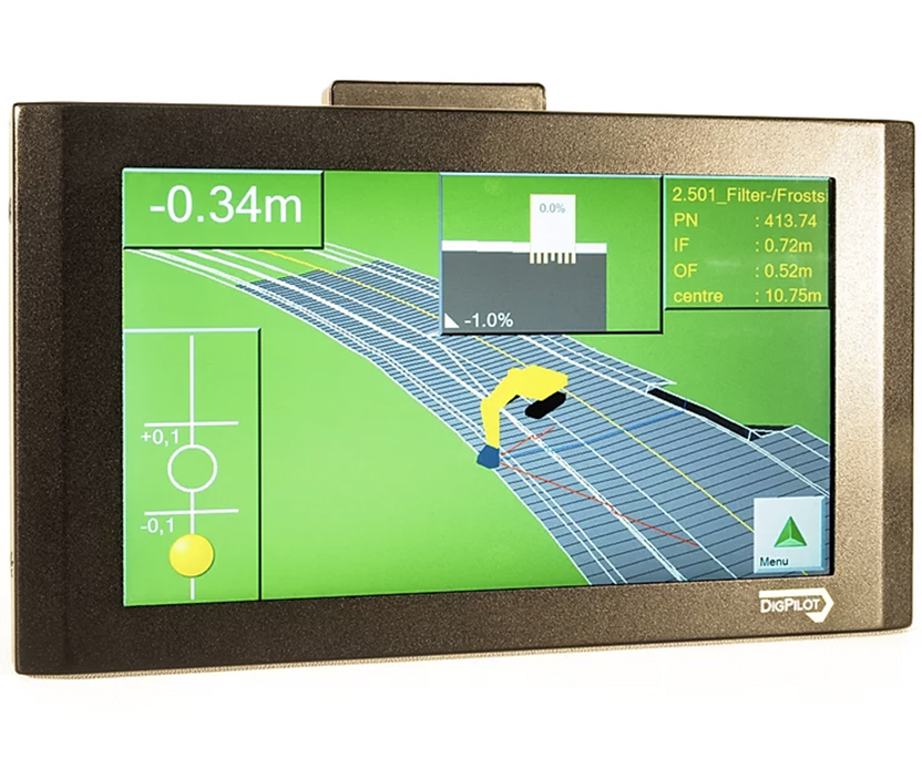
The simple menu structure, easily accessed through quick swipes, makes the program extremely user-friendly. Panoramic views and zooming provide a comprehensive overview of details on the construction site.
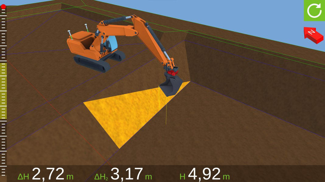
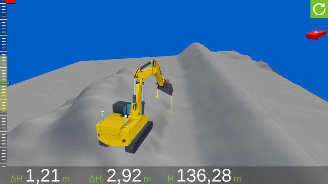

DigPilot Terra probably offers the market's best graphics and user interface. The program can be visualized either vertically or horizontally on a 10-inch screen with a docking station.
CAN-bus sensors from DigPilot are so small and light that they are attached using strong adhesive tape on brackets, eliminating the need for drilling into the machine. They can be easily replaced, and no recalibration is necessary after replacement. The sensor is, of course, gyro-stabilized and manufactured in Norway.
DigPilot reads rotation data from RotoTilt® and EngCon®, providing precise measurement and visualization regardless of the rotation and angle on the LOCALIZER™ module in the DigPilot® program. The program automatically detects the location of the construction machine worldwide and suggests relevant geoid models and transformations for the area.
- All EUREF zones
- Local transformations
- All NGO axes
- Sea chart zero (datum)
The menus in DigPilot Terra are easily accessible and have a logical structure. The menus for bucket selection and quick selection of project files and layers are swiped into view within the excavation window.
Support and troubleshooting are efficiently conducted via TeamViewer®, just a keystroke away. Our guides see the same screen as the operator.
DigPilot connects with a sensor set. For maximum flexibility, we also offer wireless sensor sets. Streamline your construction site with products from us!
We at Gundersen & Løken are experts in DigPilot systems and equipment. We possess extensive knowledge and extensive experience in all aspects of surveying and machine control. You can find us in Oslo, conveniently located near the E6 on Furuset.
Our DigPilot products
PC OG PROGRAMVARE
PC-programvare oppdateres jevnlig og nye funksjoner legges til.
Koblinger er festet i rammen.
Herdet glass forhindrer riper og ødelagt skjerm.
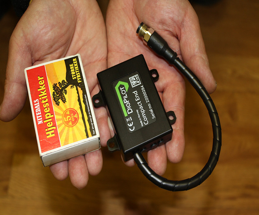
CAN BUS Sensorer
Sensorene er på toppen av hva som kan tilbys på markedet i dag, og de er i stadig utvikling. Spesielt utviklet for bruk i røffe arbeidsområder og i all slags vær.
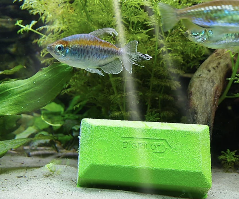
Alle komponentene er vanntette. Sensorer og kabler er også spesifisert for å kunne operere under vann flere meter ned. IP69K.
TRÅDLØSE SENSORER
Spesifisert for de som ønsker å flytte systemet mellom flere anleggsmaskiner. Opptil 20 forskjellige anleggsutstyr kan installeres i et DigPilot-system.
Sensorene kommuniserer ved hjelp av radiosignaler og trenger derfor ingen kabler.
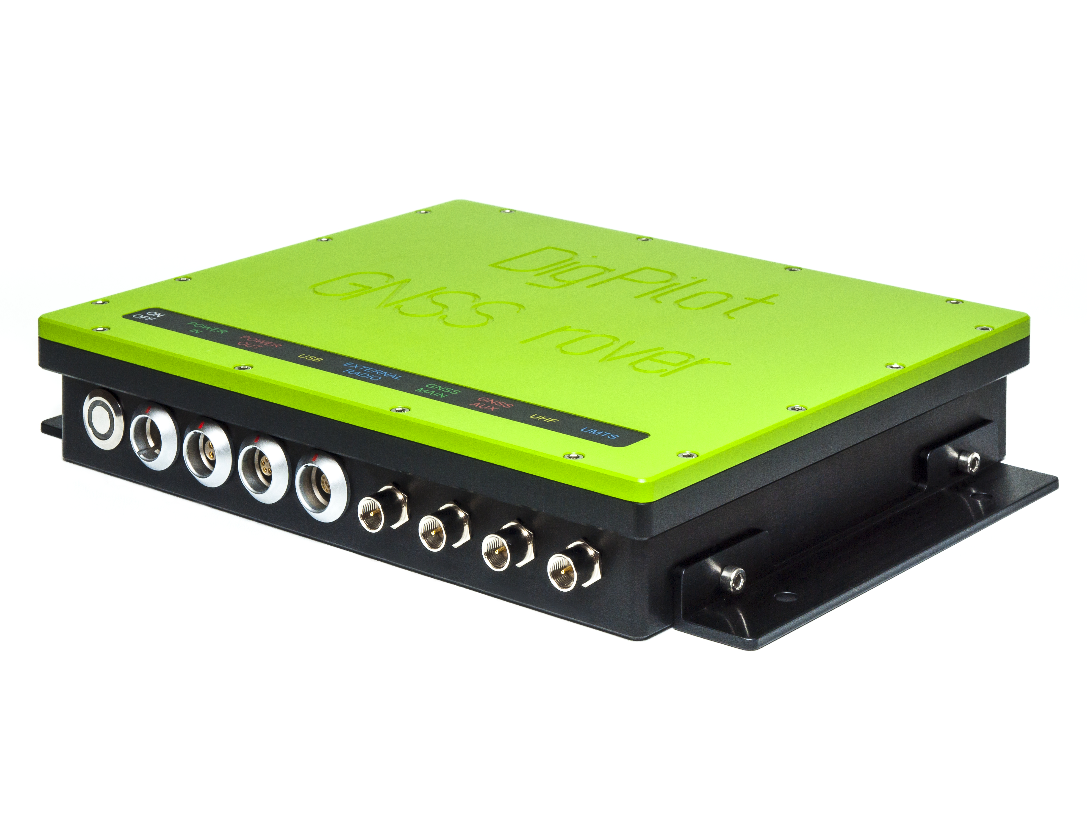
DigPilot 3D GNSS maskinstyring
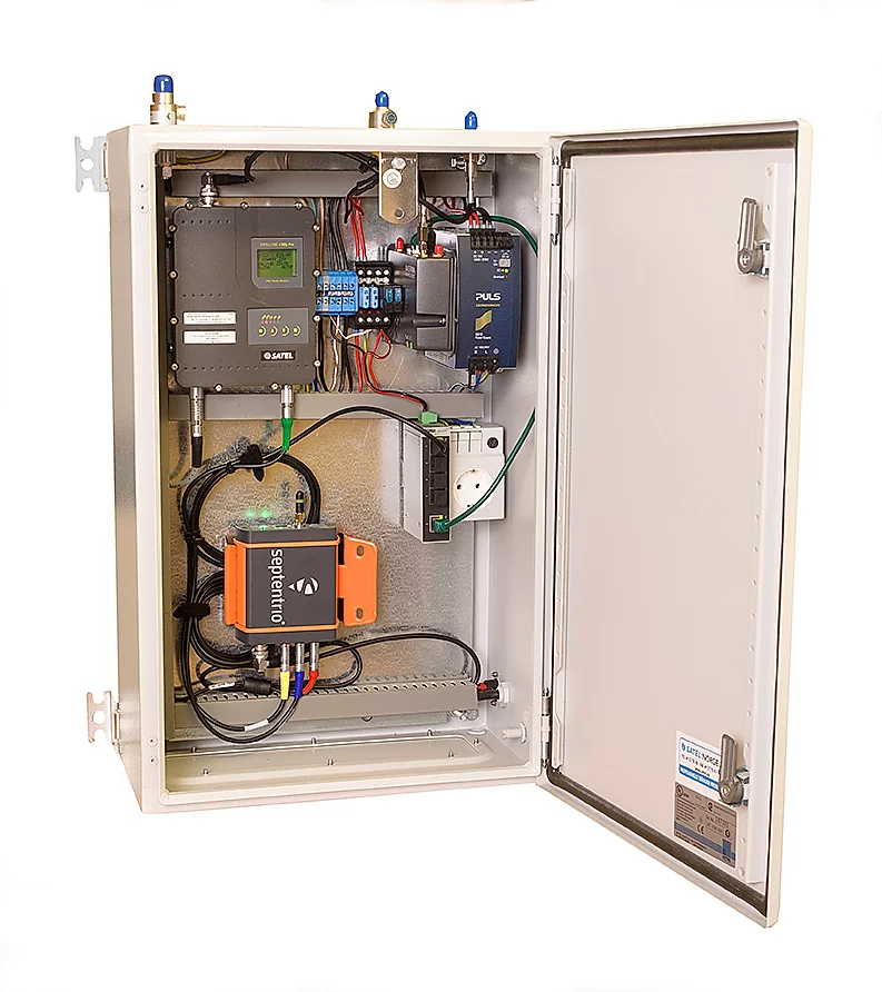
Forhåndsinnstilte alternativer for tilkobling til internett / radiobase.
GPS, GLONASS, GALILEO & BEIDOU tilgjengelig som standard. 4G-modem integrert
DigPilot er et mobilsystem:
Push / pull-kontakter gjør det enkelt å koble til kablene.
Roveren er vanntett og kan derfor monteres på magneter utenfor hytta.